GIS
We can help you with any GIS needs that you might have. Some of our specialties include
- Needs assessment and data storage strategy - We have helped numerous environmental consulting firms structure their base data in such a way that it is current, easily accessible, and consistently displayed on all company maps
- Automating workflows with custom programming - See my CV for examples
- Leveraging open source tools to minimize licensing requrements - We have worked with several companies to create open source tools in QGIS that allow users to view and add data without using up an expensive ESRI license. This allows power-users to have access to all the ESRI tools that they expect while still allowing field personnel to do their jobs with a simplified interface.
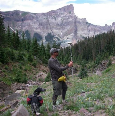
- Mobile data collection systems - We have developed mobile data collection systems for several large projects including up to 50 field personnel, without needing expensive ESRI licenses for each.
- Client interface portals - We have developed client interface portals that allow clients to see a limited view of the data that we are collecting for them as it is added (or after QR/QC depending on client needs) to aid in their decision making process
- Working with NRCS SSURGO data - We are very familiar with the complexities and capabilities of the NRCS SSURGO soil data and have used it extensively in analytical products
- Mapbook creation and automation
- Training - We can provide training for your personnel, customized to your needs.
Web Development
Although we can create any type of web page that you need, we focus on information, rather than beautiful designs. However, we LOVE working with conservation groups and other non-profits and would be happy to help you implement your design if we can.
We focus on database driven applications, and especially mapping applications. There are many design firms out there that can help you publish content, however there are fewer options available if you want/need a web application. We can help if you want to
- Create a log-in system to keep track of users and restrict access to your content.
- Provide a secure web portal for your data to external clients.
- Develop an internal portal to your data so that your personnel can view, update, and create data without consuming an expensive ESRI license.
- Develop analytical tools that are freely available to both internal and external users, that won't become obsolete with the next ESRI version update.
- Develop mobile applications so that your field personnel can access your data and collect new data in both connected, and dis-connected environments.
Conservation
Our vision is to migrate into a place where we can focus 100% on supporting the needs of the conservation community. Especially in Latin America
Currently, we are not in a position where we can volunteer all of our time in this effort, however we are in a position where we can provide substantial discounts to conservation groups in order to increase our exposure in that sector.
Our hope is that, through income from our courses and from donations we will be able to increase the time we spend on conservation projects and lower our prices even further.
You can help by using us for commercial work, spreading the word, and donating if possible.
We also have extensive experience as field biologists and LOVE helping out on field projects if we can.